Tesla builds its own maps to solve FSD navigation errors
After years of dismissing external data, Tesla is developing internal cartography to help its vehicles read speed limits and find parking spots more reliably.
By Leila Santos ·
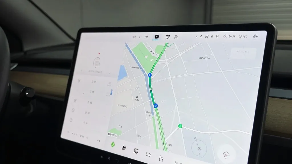
Tesla is developing its own mapping system to address persistent issues with its Full Self-Driving software. The company’s head of AI, Ashok Elluswamy, detailed the project during the Q3 2026 earnings call. This new architecture will use data collected from Tesla’s fleet to improve how cars handle speed limits, parking, and route selection.
This marks a significant departure from past company messaging. For years, CEO Elon Musk argued that self-driving systems relying on detailed maps were fragile. He famously called high-precision lane maps a huge mistake and a really bad idea. That stance suggested Tesla could solve driving with cameras and AI alone, without the need for the extensive mapping used by competitors.
The shift was prompted by specific complaints from shareholders. One retail investor noted that mapping continues to be a problem for FSD. They listed speed limits, parking, and typical routes as the three biggest issues. They asked why the company relied on third-party maps instead of creating its own. Elluswamy agreed that Tesla should not depend on external people’s maps.
The new system will be built using an AI-based mapping and navigation architecture. It will be fed by what the fleet collectively learns over time. The technology is also designed to learn individual driver preferences and respond to voice commands. Tesla plans to start using it for the beginning and end of trips with FSD v15. Over the coming months, it will take over navigation, parking, and destination handling.
Tesla has a mixed history with this technology. In 2015, it told Fortune it was building high-precision maps with 100 times the granularity of standard navigation. Then, at Autonomy Day in 2019, Musk reversed course. He said the company had tried high-precision lane maps and realized it was a mistake. He called relying on them extremely brittle. In that same presentation, he dismissed lidar as a fool’s errand.
Seven years later, the company is using its fleet to fix the things its vision system gets wrong. While this is not the same as the HD maps Musk criticized, the problems it addresses are about understanding the environment. FSD still often fails to read speed limit signs correctly. A Belgian road safety group found that FSD sped in 55% of 30 km/h zones it tested in Brussels. The cars averaged 44 km/h, partly because their screens showed a 50 km/h limit in most of those zones.
In the US, the NHTSA is weighing an investigation into claims that Tesla Robotaxis speed through active school zones. The investigation covers about 1,000 Model Y and Cybercab vehicles. If a vision system cannot reliably read a simple speed limit sign, a better map may be the necessary fix. This approach brings Tesla closer to Waymo, which maps cities by driving sensor-equipped vehicles through them before launching service.
Tesla’s Robotaxi service already operates in small geofenced areas. The new map will be built by the fleet and will help every car drive better. The main difference from Waymo is that Tesla’s cars do not have lidar on top. However, a fleet-built map that keeps getting more detailed could easily head toward higher precision. This development suggests that both companies are solving the same problem in very similar ways.
Tesla has pushed unsupervised FSD in customer cars to Q2 2027. For now, the technology is limited to its Robotaxi fleet. The company is building its maps now, while it has been operating in geofences for some time. This new direction acknowledges that vision alone has not yet done the job Tesla originally promised.
Source: Electrek · original report published